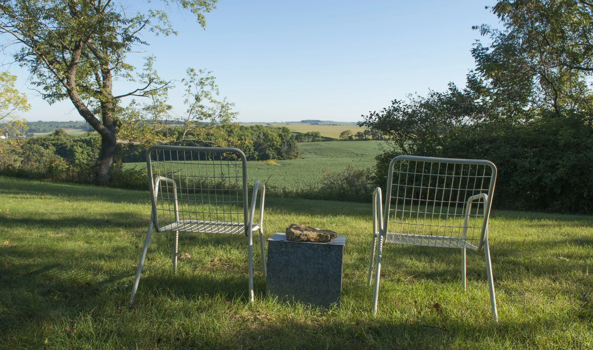
Charles Mound, Illinois state highpoint. 2014
Summit Date: September 7, 2014
Most of the 50 state highpoints are located in parks of some kind, whether it be local, state, or federal. This makes them open to the public. Charles Mounds, however, is one of the few highpoints that are located on private property. While physically very easy to get (a gentle one-mile stroll up a dirt road) in terms of access it is one of the trickier high points to get to. The property owners are nice enough to allow highpointers on the first full weekend of the four summer months. However, this means that the highpoint is only accessible to the public for eight days a year. I planned my visit for the last open access day of 2014, Sunday, September 7.
I flew from Syracuse to Chicago the night before and then drove a rental car from Chicago to Scales Mound, which is only about a mile from the trailhead. I slept in the parking lot of the town park. I've gotten used to car camping with my RAV4, which I built a bed for and is actually quite comfortable. So when I decided to crash in my car for the night I didn't think much of it. Well, my small rental sedan was definitely not made for car camping. My 6 foot frame trying to fit in the back seat just didn't really work. Not to mention it got cold. I had only packed a small backpack and wasn't expecting it to get cold overnight. The next morning however, once the sun came up it was quite pleasant.
I arrived at the trailhead just before sunrise. I use the word "trailhead" loosely, as the trail is actually a dirt farm road leading from the street up to the private residence and the highpoint. Even though the trail was only a little over a mile long with not much elevation gain, it still felt like the environment changed a few times on the way up. The first part is a long flat stretch with a cornfield on one side and a wooded gully on the other. Once the trail starts to go uphill it becomes wooded on both sides. Eventually the woods give way to large bean fields. On the far side of these fields are a few barns and a little pond. Then it becomes wooded again for the rest of the way up to the highpoint. Once at the summit there are views to the north of more fields and rolling hills.
The whole experience was very peaceful. The skies were clear and there was no wind, no traffic, no hordes of tourists. I had the summit all to myself while I was up there. On the way back down I ran into some fellow highpointers and traded stories with them. One of them was a retiree who, in his younger days, had worked for the National Park Service and actually lived in Fort Jefferson, located in Dry Tortugas National Park, Florida. I also ran into another highpointer who was visiting from the UK. I'm glad I was able to make it for one of the open access weekends. This also marked my 20th High Point.
Trailhead for Charles Mound.
The summit path through a section of woods.
The sunrise over a field of soybeans.
Looking back toward the town of Scales Mound.
The view to the north of the summit.
Me with the summit sign.
Other posts in this series:
Great Basin National Park, Nevada. An Unexpected Journey.
White Butte, Highpoint of North Dakota. Really? More Goats?
Mount Katahdin, Highpoint of Maine. If At First you Don't Succeed...
Hawkeye Point, Highpoint of Iowa. So... Much... Corn...
Granite Peak, Highpoint of Montana. I Have Seen The Top Of The Mountain, And It Is Good.
Mount Borah, Highpoint of Idaho. The Great American Eclipse Of 2017.
Tri-Point Of Iowa, Nebraska, And South Dakota. Hot. Damn Hot. Real Hot.
Sassafras Mountain, Highpoint of South Carolina. Please excuse our mess.
Ebright Azimuth, Highpoint of Delaware. Rock bands and space shuttles.
Charles Mound, Highpoint of Illinois. A farmland stroll.
Tri-point of NC, TN, and VA. My car meets its match.
Mount Rogers, Highpoint of Virginia. OH MY GOD!!! LOOK AT ALL THE FUZZY PONIES!!!
Guadalupe Peak, Highpoint of Texas. Birth of an obsession. And big freaking bugs.


